Amidst the second wave of the COVID-19 pandemic, a unique opportunity commenced on my way to engage with the Land Related Issues Resolving Commission (LIRC), a beacon of hope for the landless and inhabitants of unorganized settlements. This high level government body was formed by the government of Nepal to eliminate landlessness by identifying families in need and providing them with a one-time land ownership certificate. Furthermore, it was mandated to issue land ownership certificates to families already utilizing land from the positive list without possessing the corresponding land ownership certificate, employing a revenue collection approach.
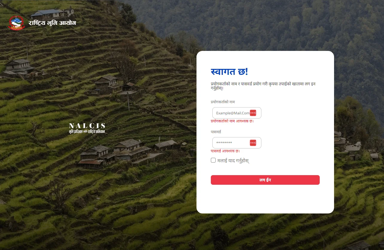
LIRC, which was further evolved into the National Land Commission, envisioned the National Land Commission Information System (NALCIS). NALCIS was a digital marvel that could streamline the distribution of land ownership certificates to the deserving population.
NALCIS was launched for the digitization of applications submitted by beneficiary families. Through NALCIS, local governments recorded the application submitted by beneficiary families. Afterwards local governments could provide applicant families with a proof of application registration generated by NALCIS and furthermore they could seamlessly publish notices, empowering authorities at the local and district levels to analyze data for further processing. This data became the foundation for identifying the true beneficiaries of this initiative.

Some Significant Milestones of NALCIS:
- Application records were stored in a government-run data center.
- Applicants could get the proof of application being recorded
- The one-family, one-application rule was ensured which wipe out the chances of numerous duplications, ensuring fairness.
- It enabled Commission authorities to monitor the progress of the work via the web.
- Investigation and verification process could be carried out with ease.
Following the development of NALCIS, the commission introduced another information system, namely NALCIS Mapping. While NALCIS was limited on classifying and verifying rightful beneficiaries, NALCIS Mapping could seamlessly carry out data from NALCIS via API Call. The data obtained through API calls, could be further processed for digitizing the parcels and mapped plots based on field surveys. Additionally, it calculated the fees payable by beneficiaries to get the land ownership certificates for the land owned by residents of unorganized settlements. Ultimately, it could flawlessly integrate the prepared digitized maps and parcels into the land record management systems of other government agencies such as the Survey Department and the Department of Land Management and Archive.
As a contributor to this journey in designing and implementing civic technology, my role evolved from an ICT consultant during the development of NALCIS to leading its implementation as the head of the IT department at the Commission. Over time, I transitioned into the role of an IT expert, overseeing critical initiatives that shaped the success of this significant effort:
- I led the launch of NALCIS, ensuring its improved efficiency.
- Developed blueprints for system development, aligning with organizational needs.
- Conducted training sessions for district and local government teams to enhance data management practices and NALCIS integration.
- Ensured the smooth operation of the ICT infrastructure at the commission, maintaining a robust technological backbone.
- Implemented an information system to record and verify data efficiently for beneficiary families.
- Successfully trained more than 2500 officials over 400 local governments, instilling systematic record-keeping practices for the benefit of landless families and other beneficiaries.
- Spearheaded the development of an information system that digitizes the entire process of distributing land ownership certificates to landless families and other beneficiaries.


